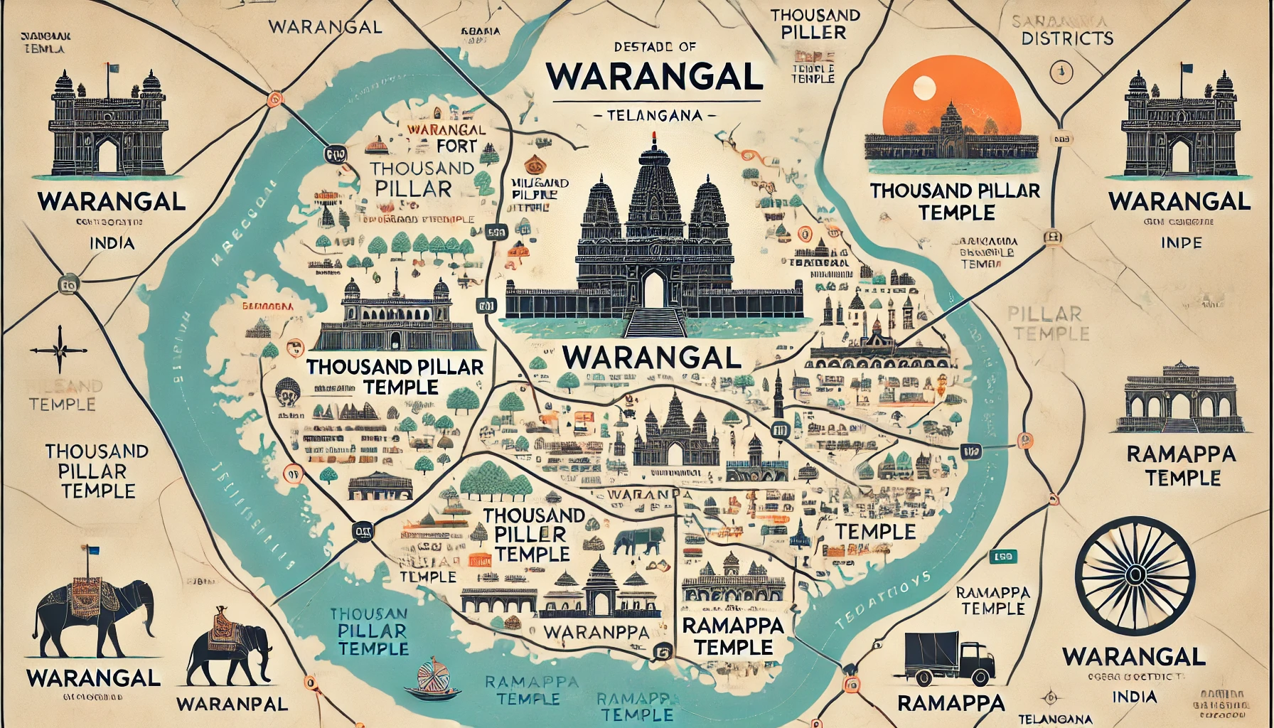
Map of Warangal in India showing key landmarks, historical sites, and its geographical location in Telangana.
Warangal, a city rich in history and heritage, is located in the state of Telangana, India. Known for its architectural wonders and cultural significance, Warangal is a prominent destination on India's map. This article delves into Warangal's location, significance, and what makes it a must-visit place.
Warangal’s Location on the India Map
Warangal is situated in the northern part of Telangana, approximately 145 kilometers northeast of Hyderabad, the state capital. It lies at a strategic junction connecting various parts of Telangana to Andhra Pradesh and Maharashtra.
- Latitude & Longitude: 17.9784° N, 79.6021° E
- Neighboring Districts: Hanamkonda, Jangaon, and Khammam
Warangal serves as a vital transportation hub, with well-established road, rail, and bus connectivity. The city is also part of the Hyderabad-Warangal Industrial Corridor, boosting its significance.
Historical Importance of Warangal
-
Kakatiya Dynasty
Warangal was the capital of the Kakatiya dynasty (12th–14th century), known for its contributions to art, architecture, and literature. The Kakatiya rulers established the city as a center of learning and culture. -
Architectural Marvels
Warangal is famed for its iconic monuments like the Thousand Pillar Temple, Warangal Fort, and the Kakatiya Kala Thoranam (archway). These sites are UNESCO World Heritage Sites, showcasing the city's historical significance.
Key Features on the Warangal Map
-
Warangal Fort
Located in the heart of the city, this fort is an architectural masterpiece with intricate carvings and massive stone gateways. -
Thousand Pillar Temple
A spiritual and architectural marvel, the temple is located in Hanamkonda, a short distance from Warangal city. -
Ramappa Temple
Situated about 70 km from Warangal, this temple is a UNESCO World Heritage Site and a must-visit. -
Laknavaram Lake
This serene lake, surrounded by lush greenery, is a perfect picnic spot, attracting nature lovers and adventurers. -
Warangal Urban District
The city is part of a larger urban agglomeration that includes Hanamkonda and Kazipet, forming the Tri-Cities of Telangana.
Connectivity of Warangal on the India Map
- By Road: The city is well-connected to Hyderabad and other major cities via National Highway 163.
- By Rail: Warangal railway station is a major junction on the Chennai-Delhi route.
- By Air: The nearest airport is Rajiv Gandhi International Airport in Hyderabad, about 145 km away.
Modern Significance of Warangal
Warangal is now a rapidly growing urban center, blending its historical charm with modern development. It is home to educational institutions like the National Institute of Technology (NIT) Warangal and IT parks under the Telangana State Industrial Infrastructure Corporation (TSIIC).
Warangal: A Must-Visit Destination
Whether you're a history enthusiast, an architecture lover, or a nature admirer, Warangal has something for everyone. Exploring this city on India’s map is like stepping back in time while enjoying modern amenities.
Plan your trip to Warangal today and experience the blend of history, culture, and natural beauty.
To buy RERA certified, DTCP & HMDA approved Gated Community Villa Open Plots Please Contact :
For Sales : 8179712384
Mail : sales@openplots.net