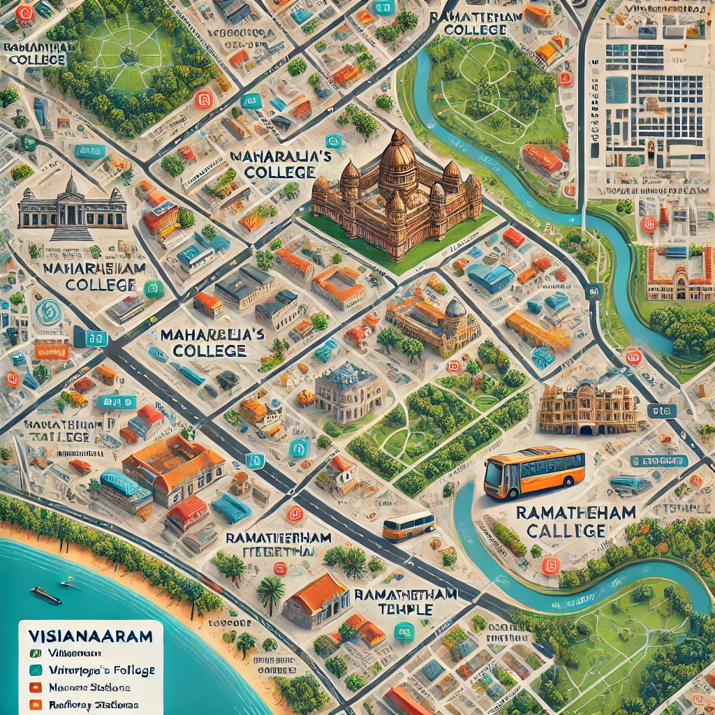
A detailed city map of Vizianagaram showcasing roads, landmarks, and attractions.
Vizianagaram, a city steeped in history and culture, is a prominent hub in the Indian state of Andhra Pradesh. Known for its royal heritage and lush greenery, the city is both a tourist destination and a commercial center. A detailed city map of Vizianagaram is an essential tool for navigating its rich tapestry of attractions, landmarks, and essential facilities.
Overview of Vizianagaram
Vizianagaram, often referred to as the "City of Victory," is the headquarters of Vizianagaram district. The city blends its historic significance with modern amenities, offering a glimpse into the cultural and architectural marvels of Andhra Pradesh.
Key Features of the Vizianagaram City Map
1. City Layout
The Vizianagaram city map provides a detailed view of:
- Major Roads: Including National Highway 26 and arterial roads connecting neighborhoods.
- Prominent Landmarks: Vizianagaram Fort, Maharaja’s College, and clock towers.
- Residential Areas: Key localities like Dasannapeta, RTC Colony, and Balaji Nagar.
2. Tourist Attractions
The map highlights must-visit places:
- Vizianagaram Fort: A symbol of the city's royal past.
- Ramatheertham: An ancient temple nestled amidst hills.
- Bobbili: A town nearby, famous for its musical instrument manufacturing.
3. Public Facilities
Easily locate:
- Hospitals, schools, and colleges.
- Bus stands and railway stations, including Vizianagaram Junction.
- Markets and shopping hubs like Nehru Market.
Why Use a Vizianagaram City Map?
- For Travelers: Navigate seamlessly through the city’s attractions and essential services.
- For Residents: Discover new developments or plan local commutes.
- For Businesses: Identify prime commercial zones and areas of interest.
How to Access Vizianagaram City Maps
1. Digital Maps
Use online platforms like Google Maps or MapmyIndia for real-time navigation. Search for specific landmarks or routes within the city.
2. Printed Maps
Printed versions of Vizianagaram city maps are available at local bookshops or tourist information centers. These maps often include heritage trails and historical details.
Tips for Exploring Vizianagaram Using a Map
- Highlight Key Areas: Mark tourist spots, restaurants, and hotels before your visit.
- Understand Traffic Patterns: Use the map to avoid peak traffic hours.
- Locate Emergency Services: Be aware of hospitals and police stations for safety.
Conclusion
A city map of Vizianagaram is more than just a navigation tool—it’s a gateway to exploring the city's charm, culture, and modernity. Whether you're a visitor or a resident, having a map at your fingertips ensures a smooth and enriching experience in Vizianagaram.
Start your journey by exploring this vibrant city with the help of its detailed map!
To buy RERA Certified Gated Community Villa Open Plots in Andhra Pradesh & Telangana please Contact:
For Sales : 8179712384
Mail : sales@openplots.net
