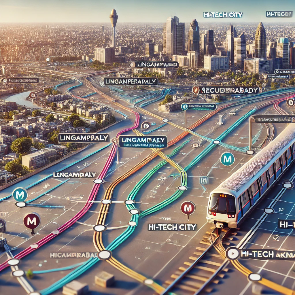
The Multi-Modal Transport System (MMTS) in Hyderabad is a convenient and affordable way to navigate the bustling city. Designed to reduce traffic congestion and provide efficient public transport, MMTS trains connect various key areas of Hyderabad and Secunderabad. Whether you’re a local commuter or a visitor, understanding the MMTS map is essential for hassle-free travel.
1. Overview of the Hyderabad MMTS Network
The MMTS network spans across major residential, commercial, and industrial areas in Hyderabad. It primarily serves as a suburban rail system, catering to thousands of daily commuters. The network has two main phases:
- Phase 1: Covers 27 stations across three primary routes.
- Phase 2: Expands the network further, connecting more areas with enhanced accessibility.
2. Key MMTS Routes and Stations
a. Falaknuma-Lingampally Route (FM-LPI)
This is the busiest route, connecting IT hubs like Hi-Tech City and residential areas such as Lingampally, Madhapur, and Gachibowli with historic locales like Falaknuma and Kacheguda.
b. Hyderabad-Secunderabad Route (HYB-SC)
This route is ideal for intercity travelers, linking major railway stations like Hyderabad (Nampally) and Secunderabad.
c. Lingampally-Nampally Route (LPI-HYB)
A short yet crucial route connecting the IT corridor with central Hyderabad.
3. How to Use the MMTS Map
The MMTS map is a visual representation of the network, showcasing all stations, routes, and interchange points. Key tips for using the map effectively:
- Identify Your Station: Locate your starting point and destination on the map.
- Check Routes: Ensure you’re on the correct route for your journey.
- Interchanges: Use connecting stations like Secunderabad or Hi-Tech City for route changes.
4. Benefits of Using MMTS Trains
- Affordability: Tickets are cost-effective, making it an economical travel option.
- Punctuality: Trains are scheduled at regular intervals, ensuring timely commutes.
- Eco-Friendly: Reduces traffic and pollution compared to road transport.
- Convenience: Connects residential areas with IT hubs, shopping centers, and tourist attractions.
5. Where to Find the MMTS Map
- Railway Stations: MMTS maps are displayed at most stations for easy reference.
- Online Platforms: The MMTS map is available on South Central Railway’s official website and popular travel apps.
- Mobile Apps: Download apps like TSRTC or MMTS Hyderabad for real-time updates and map access.
6. Future Expansions and Upgrades
The MMTS Phase 2 project aims to extend the network to cover areas like Medchal, Bolarum, and Umdanagar. This expansion will enhance connectivity and serve more commuters across Hyderabad and its outskirts.
Conclusion
The MMTS system, with its comprehensive map and efficient services, is a lifeline for Hyderabad's daily commuters. By familiarizing yourself with the MMTS map, you can navigate the city with ease and save time and money. Whether you’re heading to work, exploring the city, or connecting to major railway stations, the MMTS ensures a smooth and sustainable travel experience.
For the latest updates on routes and schedules, refer to the South Central Railway’s official website or trusted travel resources.
To buy RERA certified, DTCP & HMDA approved Gated Community Villa Open Plots Please Contact :
For Sales : 8179712384
Mail : sales@openplots.net
