Metro systems are the lifelines of bustling cities around the world, connecting millions of commuters daily to workplaces, homes, and landmarks. A "map with metro" is not just a traveler's tool—it's a gateway to understanding the intricate networks that power urban mobility.
Why Are Metro Maps Important?
Metro maps serve as visual guides for navigating metro networks. They simplify complex transit systems, making it easier for commuters to identify routes, transfers, and destinations. Whether you’re a resident or a tourist, a well-designed metro map can save time and prevent confusion.
Features of a Great Metro Map
- Clarity: Easy-to-read routes and station names are a must.
- Accuracy: While most metro maps are schematic, they should still align with real-world geography.
- Color Coding: Different colors for each line improve usability.
- Integration: Modern metro maps often include overlays for buses, trams, or even bicycle paths.
- Accessibility: Maps should consider features for visually impaired users, like Braille versions or high-contrast designs.
Metro Maps Around the World
Here’s a glimpse of iconic metro systems and their maps:
- London Underground (Tube): The map designed by Harry Beck is legendary for its simplicity and color coding.
- New York City Subway: Known for its complexity, the map is a combination of schematic and geographic elements.
- Tokyo Metro: A dense but intuitive network catering to one of the busiest metro systems globally.
- Delhi Metro: A modern system in India, with maps offering clear navigation in English and Hindi.
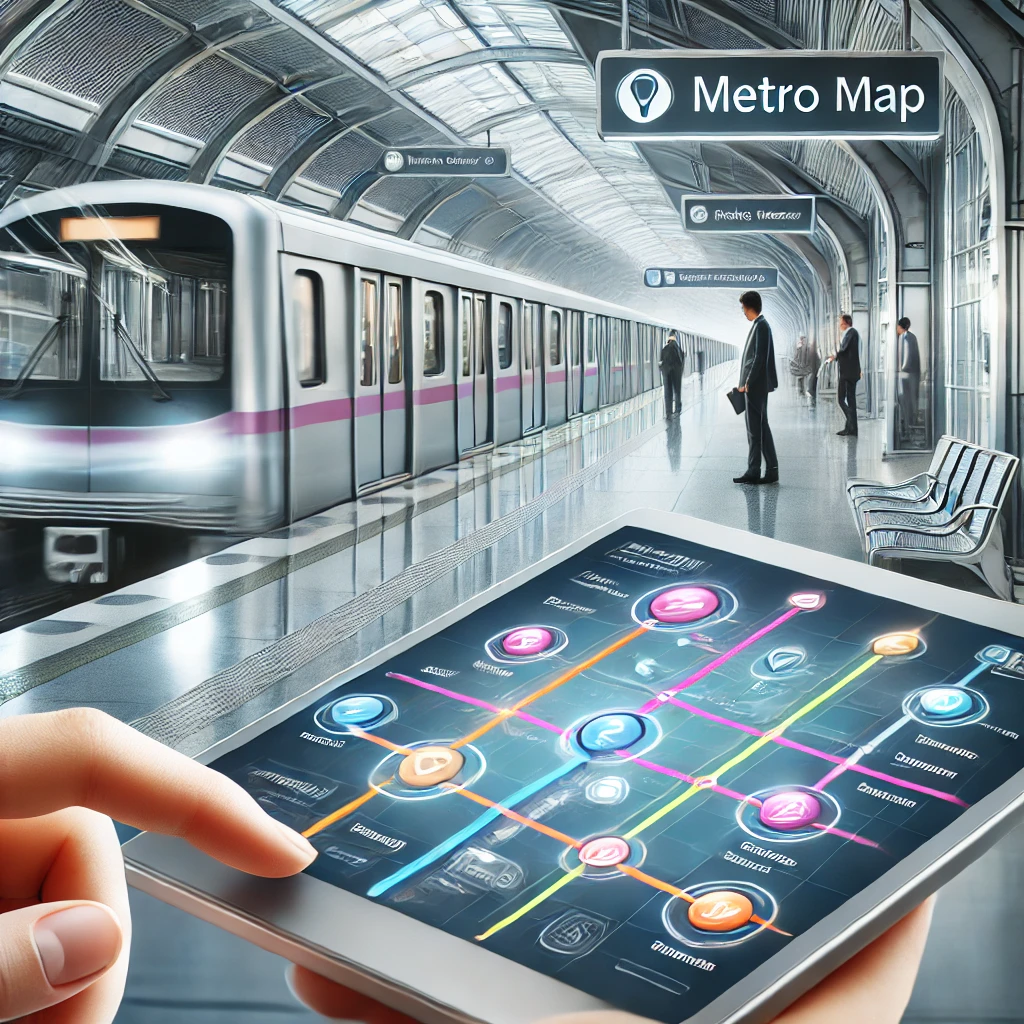
Benefits of Digital Metro Maps
While physical maps are still common, digital maps have revolutionized navigation:
- Interactive Features: Real-time train updates and route planners.
- Location Integration: GPS-enabled maps showing nearby stations.
- Language Options: Multilingual support for international travelers.
- Environmentally Friendly: Reduces the need for printed materials.
How to Use Metro Maps Effectively
- Plan Your Route: Identify your starting station, transfer points, and destination.
- Check Line Colors: Match your route to the line colors for easier navigation.
- Follow Signage: Station signs are usually aligned with map symbols.
- Use Apps: Apps like Google Maps or Citymapper integrate metro routes for seamless planning.
Future of Metro Maps
The rise of AI and advanced mapping technologies is reshaping how we experience metro navigation. Features like augmented reality (AR) overlays, voice-guided navigation, and real-time crowd monitoring are becoming mainstream.
Conclusion
A "map with metro" is more than just a tool—it's an essential companion for efficient urban travel. Whether you’re exploring a new city or managing daily commutes, a reliable metro map ensures you’re always on the right track.
Explore metro systems near you and make the most of your journey with the perfect metro map!
To buy RERA certified, DTCP & HMDA approved Gated Community Villa Open Plots Please Contact :
For Sales : 8179712384
Mail : sales@openplots.net