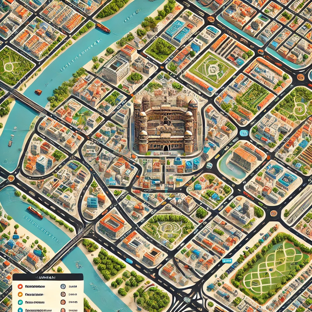
Khammam, a historic town in the state of Telangana, India, is known for its rich cultural heritage, strategic location, and growing urban development. A look at the Khammam town map reveals its well-organized layout, connecting various landmarks, neighborhoods, and major roads that form the town's lifeline. Whether you're a visitor, a new resident, or simply curious about this town, understanding the town's geography is essential to fully experience all that Khammam has to offer.
1. Location and Connectivity
Khammam is strategically located between the cities of Hyderabad and Vijayawada, making it a key junction in southern Telangana. The town’s location on the map shows its accessibility via National Highway 365A and its proximity to major transportation networks like the Khammam Railway Station, which links it to both urban and rural areas.
- Nearby Cities: Hyderabad, Vijayawada, Warangal
- Major Highways: NH 365A, SH 42
- Railway Connectivity: Khammam Railway Station, part of the South Central Railway zone
2. Key Areas and Neighborhoods
The Khammam town map is divided into various key neighborhoods, each with its own unique characteristics. These areas are connected by a network of roads that make navigation through the town easy.
- Main Areas: Wyra Road, Yellandu Cross Road, Mamillagudem, and Ballepalli are some of the key areas in town. These regions host a variety of residential spaces, markets, and commercial hubs.
- Shopping Centers and Markets: Wyra Road and Rotary Nagar are known for vibrant markets and shopping centers.
3. Cultural and Historic Landmarks
Khammam has a rich history dating back centuries, with several cultural landmarks and historic sites visible on the map.
- Khammam Fort: A must-visit historic monument situated on Stambhadri Hill. The fort dates back to the Kakatiya dynasty and offers panoramic views of the town.
- Lakaram Lake: A scenic lake located in the heart of Khammam, popular for recreation and leisure.
- Narasimha Swamy Temple: This ancient temple is a well-known pilgrimage site and a prominent feature on the town's map.
4. Educational Institutions
The map of Khammam shows various prominent educational institutions spread across the town, making it a hub for students from surrounding regions.
- Schools: Popular schools include Delhi Public School and Pragati Vidyaniketan.
- Colleges: SR&BGNR College and Khammam Institute of Technology & Sciences are some of the key institutions that attract students.
5. Healthcare Facilities
Healthcare infrastructure in Khammam is well-developed, with hospitals, clinics, and healthcare centers spread across the town.
- Hospitals on the Map: Mamata General Hospital and Government District Hospital are among the prominent medical facilities visible on the Khammam town map, providing comprehensive healthcare services to residents and nearby communities.
6. Transport and Mobility
Navigating Khammam is straightforward, thanks to its well-planned road network. The map displays important transportation hubs such as the Khammam Bus Stand, which connects the town to nearby villages and cities. Public transport, along with well-maintained roads, ensures that commuting is convenient for residents and visitors.
- Auto and Bus Routes: Auto-rickshaws are a common mode of transport for short distances, while buses operate on the major roads visible on the map, connecting various parts of the town.
7. Development and Infrastructure
The town map of Khammam reveals the ongoing urban development projects that are contributing to its rapid growth. New residential complexes, commercial zones, and government initiatives are highlighted in various parts of the map, pointing to the town's modernization and expanding infrastructure.
- Industrial Areas: Khammam has emerging industrial zones, particularly towards the outskirts, boosting economic growth in the region.
8. Tourism and Nearby Attractions
While exploring the Khammam town map, tourists can also spot nearby attractions such as Papi Kondalu Hills, which are just a short drive away. These scenic hills along the Godavari River are famous for trekking and river cruises.
Conclusion
A glance at the Khammam town map showcases the town's organized layout, rich cultural sites, key landmarks, and growing infrastructure. Whether you're planning a visit or settling in, Khammam offers a blend of historical charm and modern conveniences. The town is easy to navigate, with its roads, landmarks, and neighborhoods clearly marked, ensuring that residents and visitors alike can explore and enjoy everything Khammam has to offer.
To buy RERA Certified & DTCP Approved Gated Community Villa Open Plots in Andhra Pradesh & Telangana please Contact:
For Sales : 8179712384
Mail : sales@openplots.net