Introduction
Land plotting plays a critical role in real estate, urban planning, agriculture, and construction. Whether you're a developer planning residential spaces or a farmer managing agricultural plots, accurate land plotting ensures efficient use of resources and compliance with regulations. In this article, we will explore land plotting, its importance, and the latest techniques used in the field.
What is Land Plotting?
Land plotting is the process of dividing a large parcel of land into smaller sections, often referred to as plots. This process is typically carried out to facilitate property sales, construction projects, or land management efforts. Each plot is assigned boundaries and labeled with legal descriptions, making it easier for developers, buyers, or local authorities to track ownership and use.
Types of Land Plotting
-
Residential Plotting
Residential plotting involves the division of land for housing projects. This could include single-family homes, apartments, or villas. Plots are often categorized based on zoning regulations that dictate building heights, setbacks, and land use restrictions. -
Agricultural Plotting
In agriculture, land plotting helps farmers allocate areas for different crops, manage irrigation systems, and ensure proper land use rotation. Farmers can track soil fertility and maintain biodiversity by planning plots effectively. -
Industrial Plotting
Industrial land plotting focuses on dividing land for factories, warehouses, or production plants. These plots require special considerations, such as proximity to transport routes and compliance with environmental regulations.
Techniques for Land Plotting
-
Traditional Surveying
Traditional methods of land plotting involve physical surveying tools such as theodolites, measuring tapes, and compasses. Surveyors manually measure distances, angles, and elevations to create accurate maps of the land. -
Digital Mapping & GIS
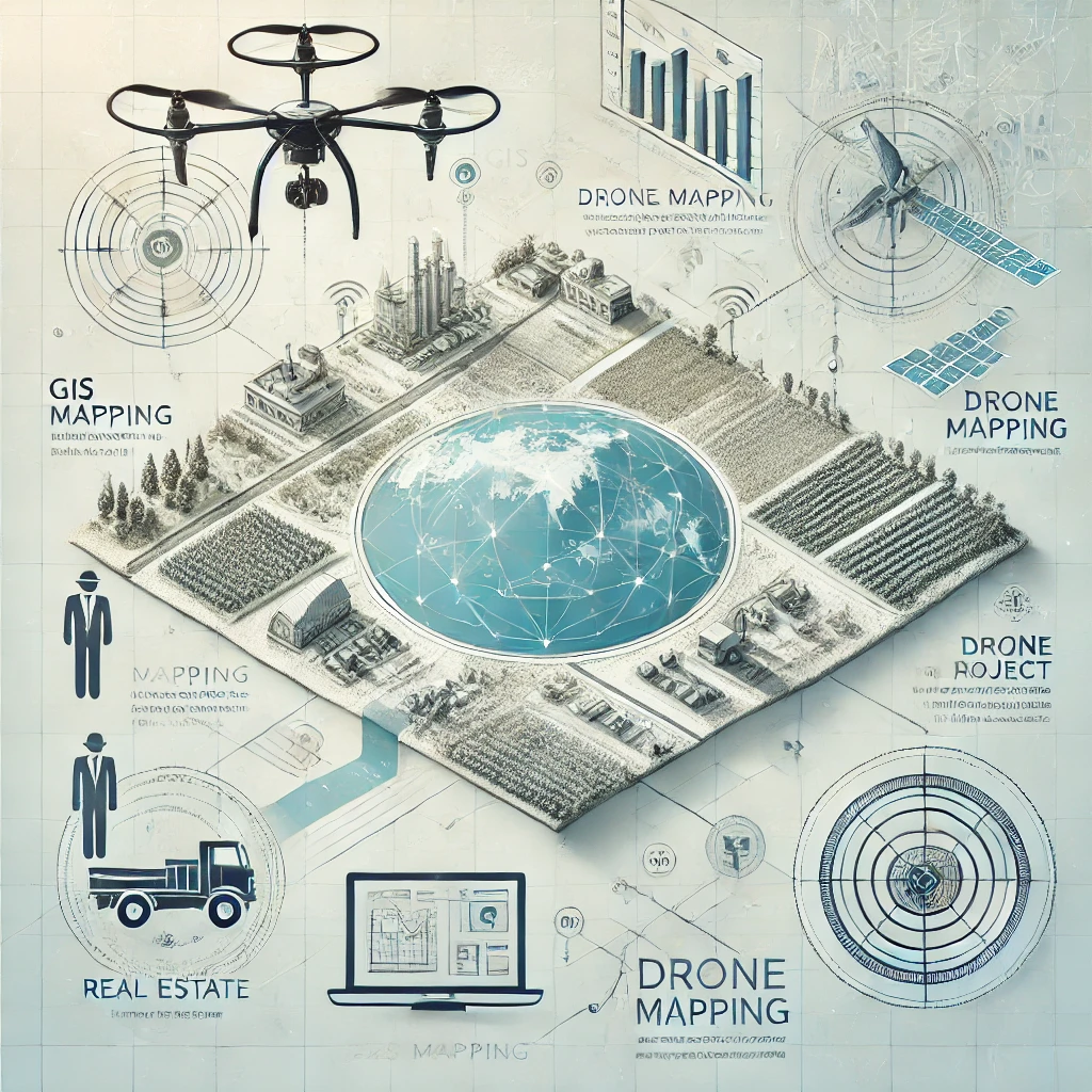
Geographic Information System (GIS) software has revolutionized land plotting. With GIS, land data can be collected, analyzed, and visualized digitally. The technology allows for precise plotting, real-time updates, and sharing of data among stakeholders. -
Drones and Aerial Imagery
Drones equipped with cameras and GPS systems are increasingly being used in land plotting. Aerial imagery from drones can provide detailed topographic maps, helping surveyors identify boundaries and terrain features more accurately. -
Satellite Imaging
Satellite imagery offers an even broader perspective, especially useful for large-scale land plotting projects like agricultural fields, mining areas, or regional development. Satellite data can provide valuable insights into land elevation, vegetation, and water sources.
Benefits of Land Plotting
-
Efficient Land Management
Plotting enables the efficient division and management of land resources. This is crucial for urban development projects, where space is often at a premium, and planning needs to account for infrastructure, green spaces, and public amenities. -
Increased Property Value
Well-plotted land tends to appreciate in value as it is more attractive to buyers or developers. Organized plots with clear boundaries and legal titles are easier to sell, develop, and mortgage. -
Regulatory Compliance
Accurate land plotting ensures compliance with zoning laws, environmental regulations, and building codes. Plots that adhere to legal frameworks reduce the risk of disputes and penalties. -
Environmental Sustainability
For agricultural and natural resource management, land plotting helps in the sustainable use of resources. Proper land division ensures that farming practices do not deplete soil fertility or damage ecosystems.
How to Choose a Land Plotting Service
When choosing a land plotting service, consider the following:
- Experience and Expertise: Work with surveyors or companies with proven experience in your industry, whether for residential, agricultural, or industrial purposes.
- Technology Used: Opt for services that use the latest technologies, such as GIS and drone imagery, to ensure accuracy.
- Regulatory Knowledge: Make sure the service provider is familiar with local zoning laws and environmental regulations.
Conclusion
Land plotting is an essential component of real estate, agriculture, and urban development. With advancements in technology, the process has become more accurate and efficient, benefiting all stakeholders involved. By understanding the techniques and benefits of land plotting, landowners and developers can make informed decisions that contribute to the sustainable and profitable use of land.
For more information or land plotting services, visit OpenPlots.net.
To buy RERA Certified & DTCP Approved Gated Community Villa Open Plots in Andhra Pradesh & Telangana please Contact:
For Sales : 8179712384
Mail : sales@openplots.net
