The Delhi Metro is the lifeline of the national capital, seamlessly connecting Delhi and its neighboring regions. With its expansive network, the Delhi Metro map is a crucial tool for commuters and tourists to navigate the bustling city efficiently. This article offers an in-depth look at the Delhi Metro map, its key features, and how to use it effectively.
Overview of the Delhi Metro Map
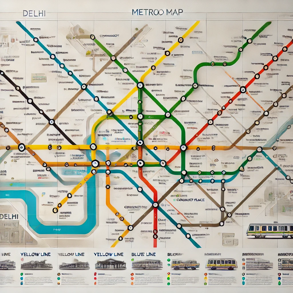
The Delhi Metro map is a visual representation of the metro lines and stations across Delhi-NCR. It is designed to be user-friendly, color-coded for different lines, and updated to reflect the latest developments in the network. Key features include:
- Color-Coded Lines: Each line is uniquely colored (e.g., Yellow Line, Blue Line) for easy identification.
- Interchange Stations: Highlighted prominently, these stations allow you to switch between different lines seamlessly.
- Landmarks and Connectivity: Major landmarks and transportation hubs are clearly marked for convenience.
Lines on the Delhi Metro Map
The Delhi Metro currently operates across several lines, each serving specific areas of the city and beyond:
- Red Line: Connecting Rithala to Shaheed Sthal (New Bus Adda).
- Yellow Line: Running from Samaypur Badli to HUDA City Centre.
- Blue Line: Divided into two corridors – Dwarka to Noida City Centre/Vaishali.
- Green Line: Inderlok/Kirti Nagar to Brigadier Hoshiar Singh.
- Violet Line: Kashmere Gate to Raja Nahar Singh.
- Pink Line: The Ring Road Line encircling Delhi.
- Magenta Line: Botanical Garden to Janakpuri West.
- Airport Express Line: Connecting New Delhi Railway Station to Dwarka Sector 21.
How to Use the Delhi Metro Map
- Identify Your Starting Point and Destination: Locate both on the map.
- Determine the Line(s): Identify the line(s) you’ll be traveling on.
- Check for Interchanges: Plan your journey by noting where you need to switch lines.
- Estimate Travel Time: Use the map to approximate travel duration based on the number of stations.
- Fare Information: Metro fares vary by distance and can be calculated online or at stations.
Digital Access to the Delhi Metro Map
For tech-savvy travelers, the Delhi Metro map is available digitally:
- Official DMRC Website: Offers the latest map and route information.
- Mobile Apps: Apps like "DMRC Official App" provide route planning and live updates.
- Google Maps: Integrated with Delhi Metro routes for seamless navigation.
Tips for Commuters
- Always carry a smart card for hassle-free travel.
- Avoid peak hours to escape crowded trains.
- Keep an eye on announcements for any route changes or updates.
The Delhi Metro map is an indispensable tool for navigating one of the busiest cities in the world. With its clear layout and modern infrastructure, the Delhi Metro ensures that every journey is smooth and efficient. Whether you're a daily commuter or a tourist exploring Delhi, mastering the metro map is your first step to a stress-free travel experience.
For more information or to download the latest Delhi Metro map, visit the DMRC Official Website.