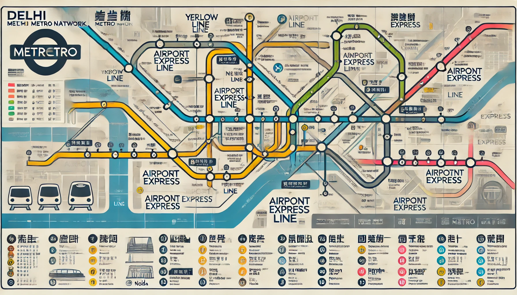
Delhi Metro, the lifeline of India's capital city, is one of the most efficient and reliable public transportation systems in the country. With its extensive network spanning the length and breadth of Delhi and its neighboring regions, understanding the Delhi Metro chart can make your travel smoother and more convenient. Here’s an all-encompassing guide to help you navigate this urban marvel.
What is the Delhi Metro Chart?
The Delhi Metro chart is a detailed schematic representation of the metro network, including all stations, interchange points, and route details. It serves as a quick reference for commuters, showing the connectivity between different lines, station names, and fare zones.
Key Features of the Delhi Metro Chart
-
Color-Coded Lines
Each metro line is represented by a distinct color for easy identification. Examples include the Blue Line, Yellow Line, Red Line, and the Airport Express Line. -
Interchange Stations
Major interchange stations like Rajiv Chowk, Kashmere Gate, and Hauz Khas are clearly marked, helping commuters transfer between different lines. -
Fare Zones and Travel Time
Some versions of the chart include fare details and approximate travel times between stations. -
Regional Connectivity
The chart highlights metro extensions into neighboring areas like Noida, Gurgaon, Faridabad, and Ghaziabad.
Importance of the Delhi Metro Chart
-
Efficient Route Planning
Whether you're a tourist or a daily commuter, the chart helps you plan the quickest and most economical route. -
Accessibility
The chart makes the metro network accessible to first-time users, ensuring a hassle-free journey. -
Time-Saving
By identifying interchange points and direct routes, the chart reduces travel time and confusion.
Major Lines on the Delhi Metro Chart
1. Yellow Line
- Connects: Samaypur Badli to HUDA City Centre
- Key Stops: Kashmere Gate, Rajiv Chowk, AIIMS
2. Blue Line
- Connects: Dwarka Sector 21 to Noida City Centre/Vaishali
- Key Stops: Yamuna Bank, Rajiv Chowk, Noida Sector 18
3. Red Line
- Connects: Rithala to Shaheed Sthal (New Bus Adda)
- Key Stops: Dilshad Garden, Kashmere Gate
4. Pink Line
- Connects: Majlis Park to Shiv Vihar
- Key Stops: South Campus, Lajpat Nagar
5. Magenta Line
- Connects: Botanical Garden to Janakpuri West
- Key Stops: Hauz Khas, Kalkaji Mandir
6. Airport Express Line
- Connects: New Delhi Railway Station to Dwarka Sector 21
- Key Stops: IGI Airport, Dhaula Kuan
How to Access the Delhi Metro Chart
-
Official Delhi Metro Website
The official website (www.delhimetrorail.com) provides an interactive metro map. -
Mobile Apps
Apps like ‘DMRC Official’ and ‘Delhi Metro Rail’ offer updated metro charts with real-time information. -
Station Premises
Printed versions of the chart are displayed at every station for public reference. -
Printable PDF Charts
Downloadable PDFs of the metro chart are available online for offline access.
Tips for Using the Delhi Metro Chart
- Plan Ahead: Use the chart to identify the shortest route and interchange points.
- Check Timings: Ensure you’re aware of the first and last train timings on your route.
- Be Prepared for Crowds: Peak hours can be busy; plan accordingly.
- Keep a Smart Card: It saves time and money compared to single-journey tokens.
Conclusion
The Delhi Metro chart is an indispensable tool for anyone traveling in the Delhi-NCR region. With its user-friendly design and comprehensive details, it simplifies your journey and ensures you can navigate the bustling metro network effortlessly. Whether commuting daily or exploring the city, the Delhi Metro and its chart have got you covered!
